Dovolenka na Slovensku - kúpele, wellness a hory
+421 948 720 226
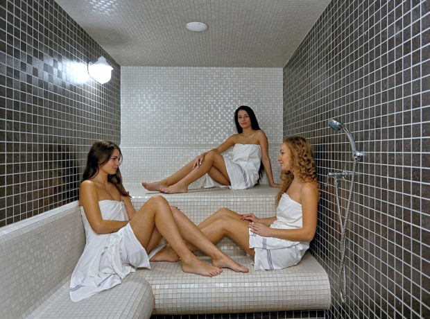
pobyty v kúpeľoch, wellness a na horách
nakúpite u nás za rovnakú cenu ako priamo v kúpeľoch a wellness
zameraná na incomming a pobyty v kúpeľoch a wellness
už 20 rokov na trhu a tisíce spokojných zákazníkov
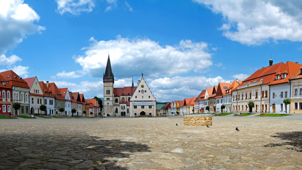
Severovýchod Slovenska ponúka široké možnosti výletov pre rodiny s deťmi na individuálnu turistiku. Mesto pamiatok UNESCO - Bardejov, Bardejovské Kúpele, Svidník a okolie sú ideálnymi lokalitami na cykloturistiku, klasickú turistiku, kúpeľnú turistiku, pobyty pri vode, poznávacie výlety, návštevy hradov, kaštieľov, drevených kostolíkov, múzeí, galérií, pamiatok vojnovej histórie od stredoveku, až po pamiatky z prvej a druhej svetovej vojny a rôznych atrakcií. Informuje o tom Radomír Jančošek, riaditeľ oblastnej organizácie cestovného ruchu (OOCR) „ŠARIŠ“ – Bardejov.
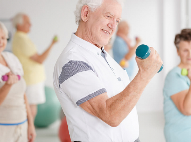
Zamestnávateľ, ktorý zamestnáva viac ako 49 zamestnancov, poskytne zamestnancovi, ktorého pracovný pomer u zamestnávateľa trvá nepretržite najmenej 24 mesiacov, na jeho žiadosť príspevok na rekreáciu v sume 55 % oprávnených výdavkov, najviac však v sume 275 eur za kalendárny rok. U zamestnanca, ktorý má dohodnutý pracovný pomer na kratší pracovný čas, sa najvyššia suma príspevku na rekreáciu za kalendárny rok podľa prvej vety zníži v pomere zodpovedajúcom kratšiemu pracovnému času.
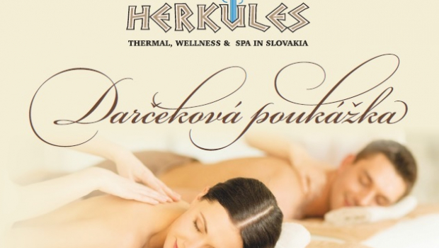
Darčekový poukaz - obdarujte najbližších
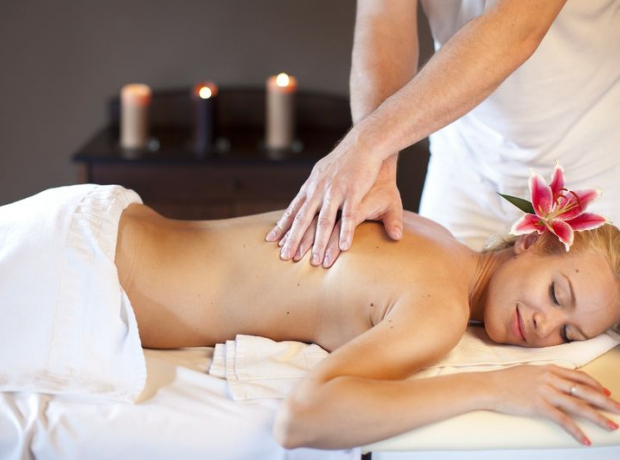
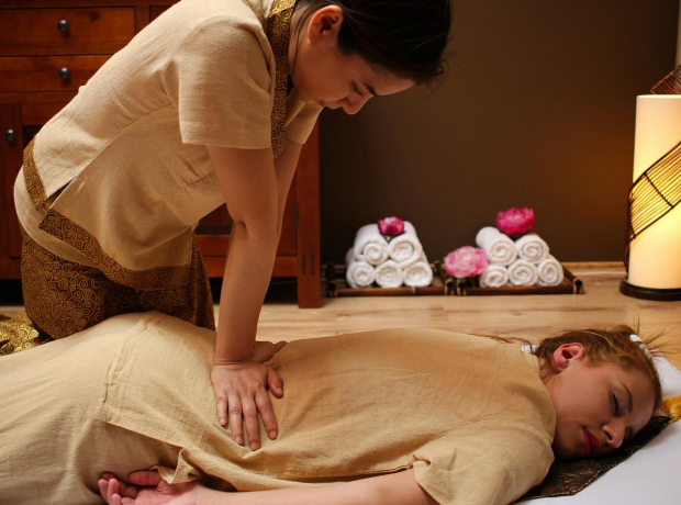
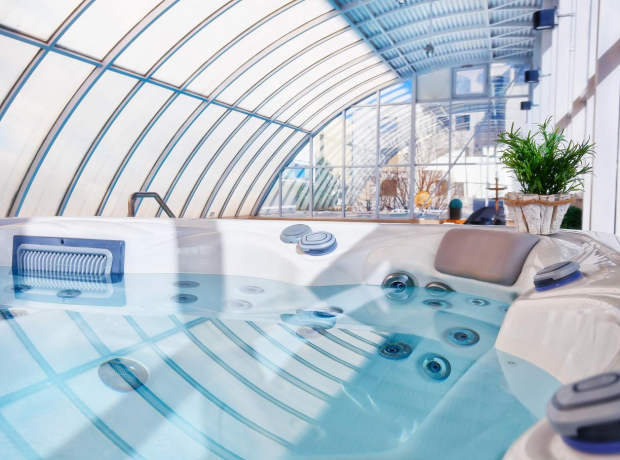
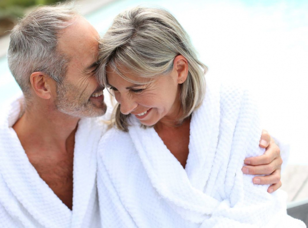
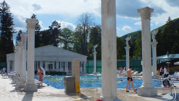
Slovensko je od nepamäti známe množstvom prameňov liečivých minerálnych vôd. Čo do počtu i kvality minerálnych prameňov patrí medzi najbohatšie štáty na svete. Na základe archeologických nálezov možno predpokladať prítomnosť človeka pri termálnych prameňoch v praveku, mnohé z nich boli známe už Rimanom.